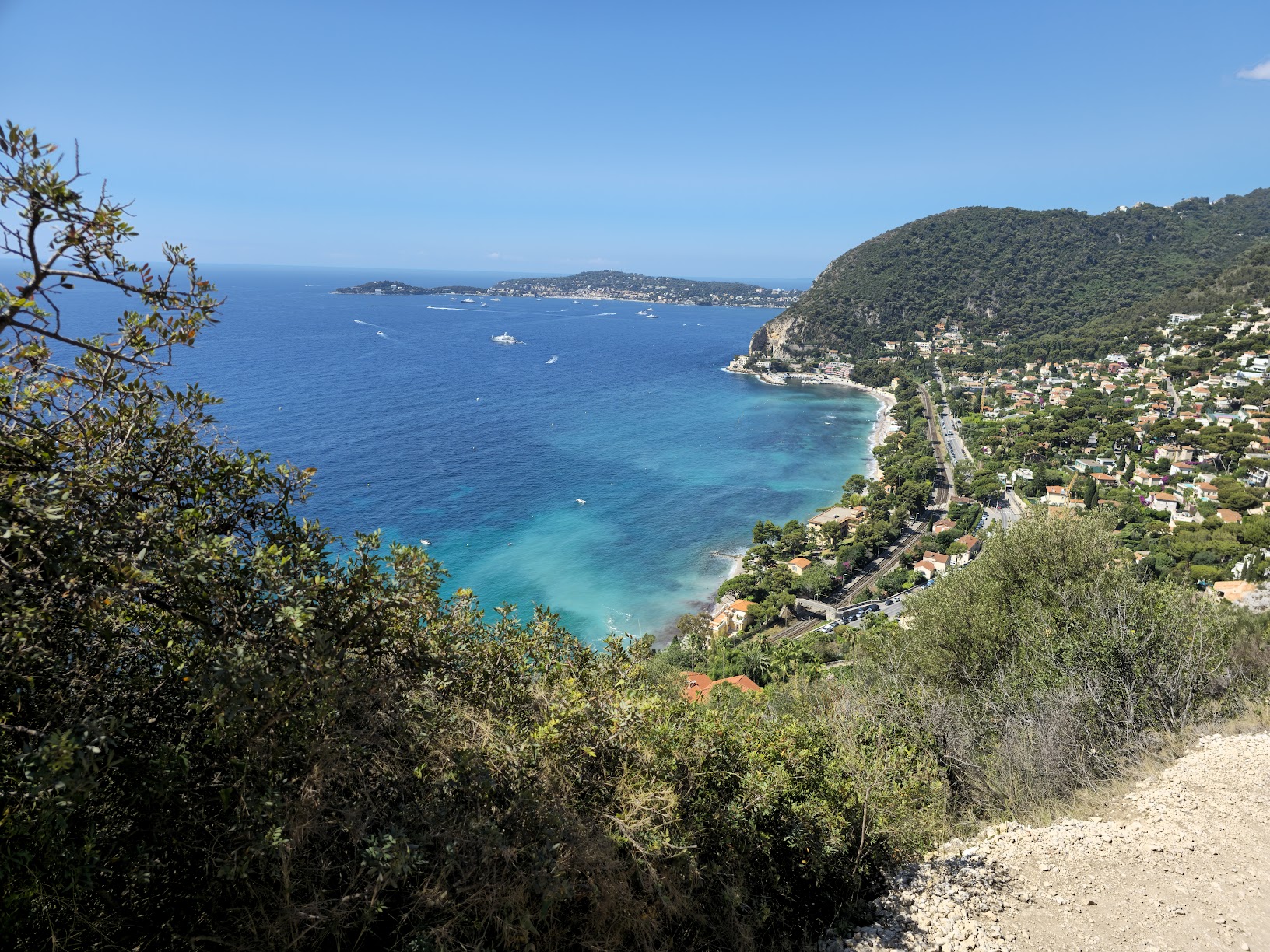
Hike in Eze, France
Nietzsche Path
A scenic trail linking Eze-sur-Mer to medieval Eze Village, with Mediterranean views, a steady climb, and easy access from the train station.
Key visitor facts
2.1 km
1h à 1h30
350-400 m gain
Moderate
Nietzsche Path in Eze
Distance: 2.1 km · Time: about 1 to 1.5 hours uphill · Elevation gain: 350 to 400 m · Difficulty: moderate · Start: Eze-sur-Mer station.
Nietzsche Path Map
Most visitors follow the route from Eze-sur-Mer station up to Eze Village. That is the path most often searched by people planning the hike on mobile.
Start
Eze-sur-Mer station
Finish
Eze Village
Direction
Uphill or downhill
Landmark
Plus code P9F6+Q5 Eze, France
How difficult is the Nietzsche Path?
The trail is usually described as moderate, but the uphill section can feel demanding in hot weather or if you are not used to uneven stone steps.
- Rocky terrain with uneven steps in several sections.
- The uphill route is much more physically demanding than the descent.
- Trail shoes or solid walking shoes are strongly recommended.
- Heat and sun exposure are often the main difficulty rather than the distance itself.
- Use extra caution with children, older visitors, or after rain.
How long does it take to hike the Nietzsche Path?
The official tourist listing gives 1 h 30 / 350 m gain in its summary and 1 h / 400 m in its text. These figures differ: allow extra time for breaks and check local conditions.
- Uphill: about 1 to 1.5 hours from Eze-sur-Mer.
- Downhill: allow time for uneven steps and breaks; no fixed duration is guaranteed.
- Add extra time if you plan to explore the village or stop frequently for photos.
- An early start usually means cooler temperatures and softer light.
Where does the Nietzsche Path start?
The lower trailhead is near Eze-sur-Mer train station. From there, the route climbs toward medieval Eze Village, making it practical for visitors arriving by train from Nice or Monaco.
- Train: get off at Eze-sur-Mer station and walk to the trail.
- Bus: you can also reach Eze Village first and walk down.
- Driving: plan how to return to your parking place after a one-way walk.
- Tip: check heat conditions and carry enough water before you start.
Practical markers
Lower trailhead
Gare d’Èze-sur-Mer
Upper finish
Èze Village
Address
06360 Èze, France
Plus code
P9F6+Q5 Eze, France
Arrive by train or bus: official timetables
For the uphill hike, check TER SNCF services to Èze-sur-Mer station. For buses to Èze Village before a downhill hike, consult Lignes d’Azur. Always check the timetables and connections for your travel date.
Should you hike up or down?
| Criteria | Uphill | Downhill |
|---|---|---|
| Start | Eze-sur-Mer | Eze Village |
| Effort | More demanding | Easier cardio-wise |
| Sea views | Frequent | Often right ahead |
| Time | 1 to 1.5 hours | Depends on footing |
| Best for | Motivated hikers | Casual visitors |
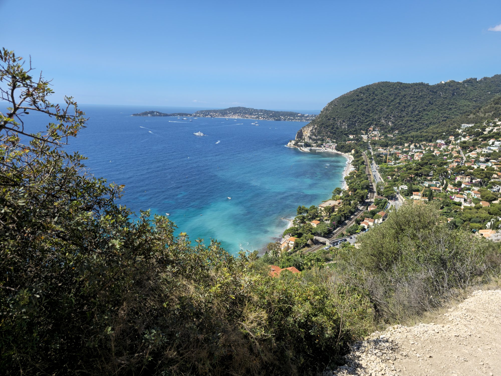
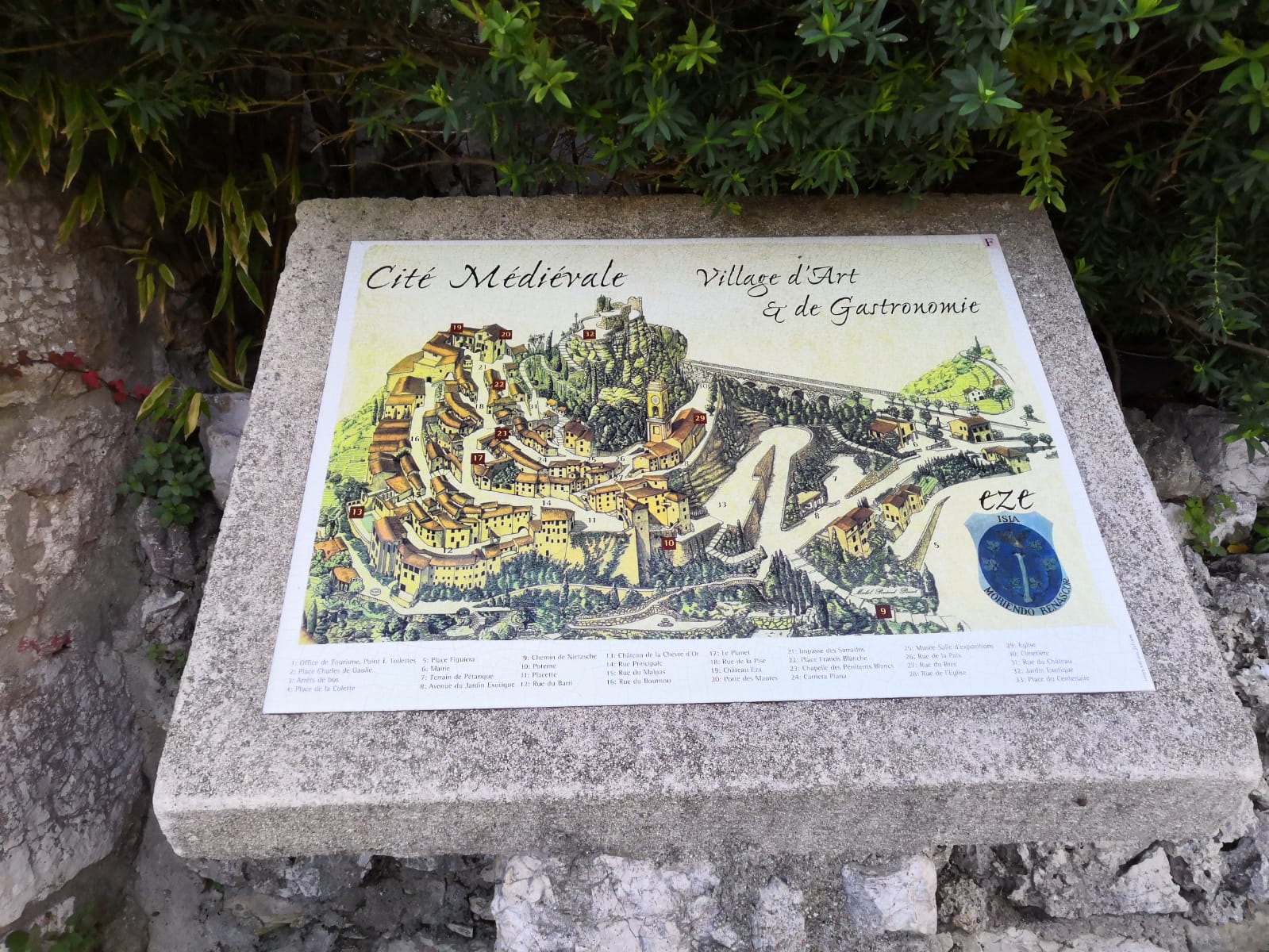
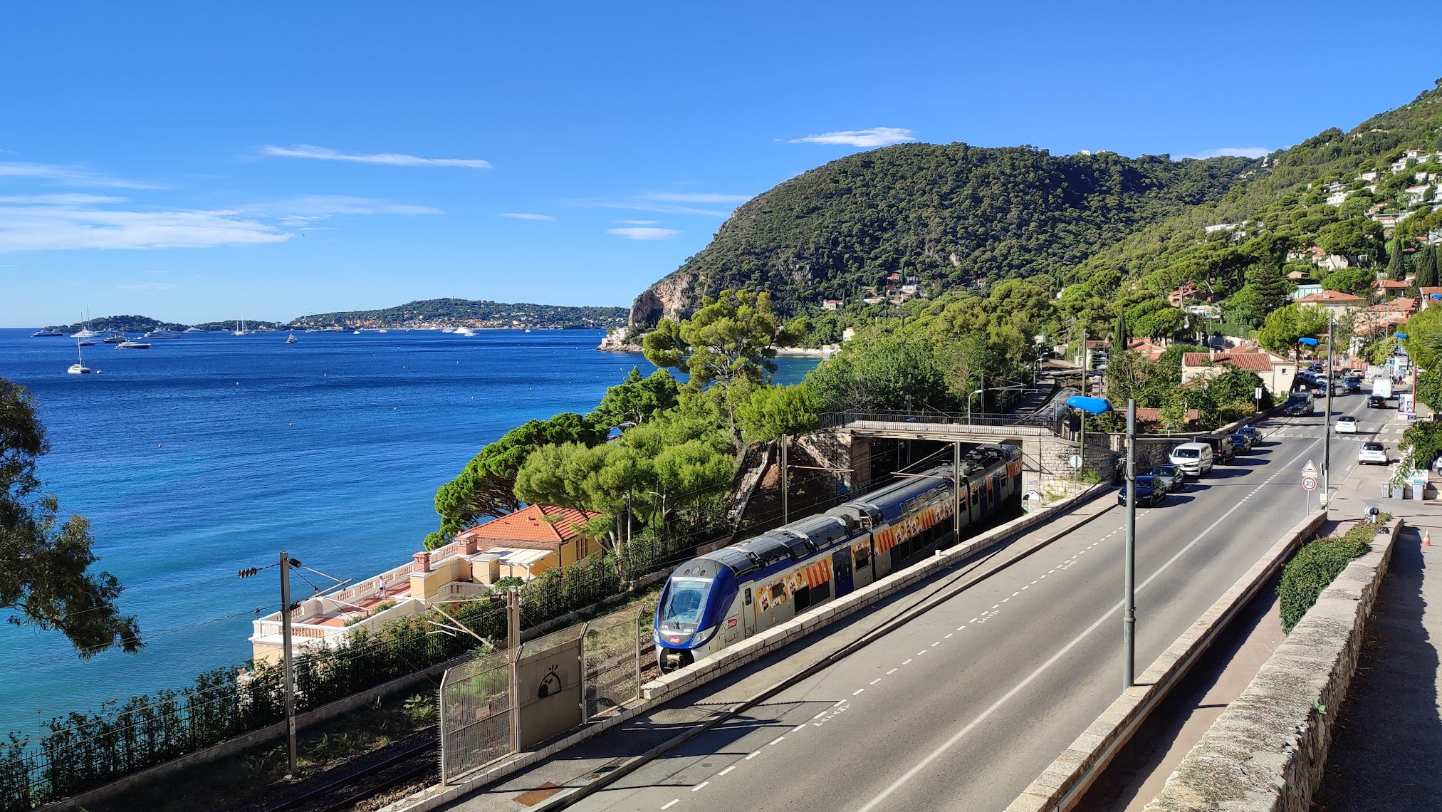
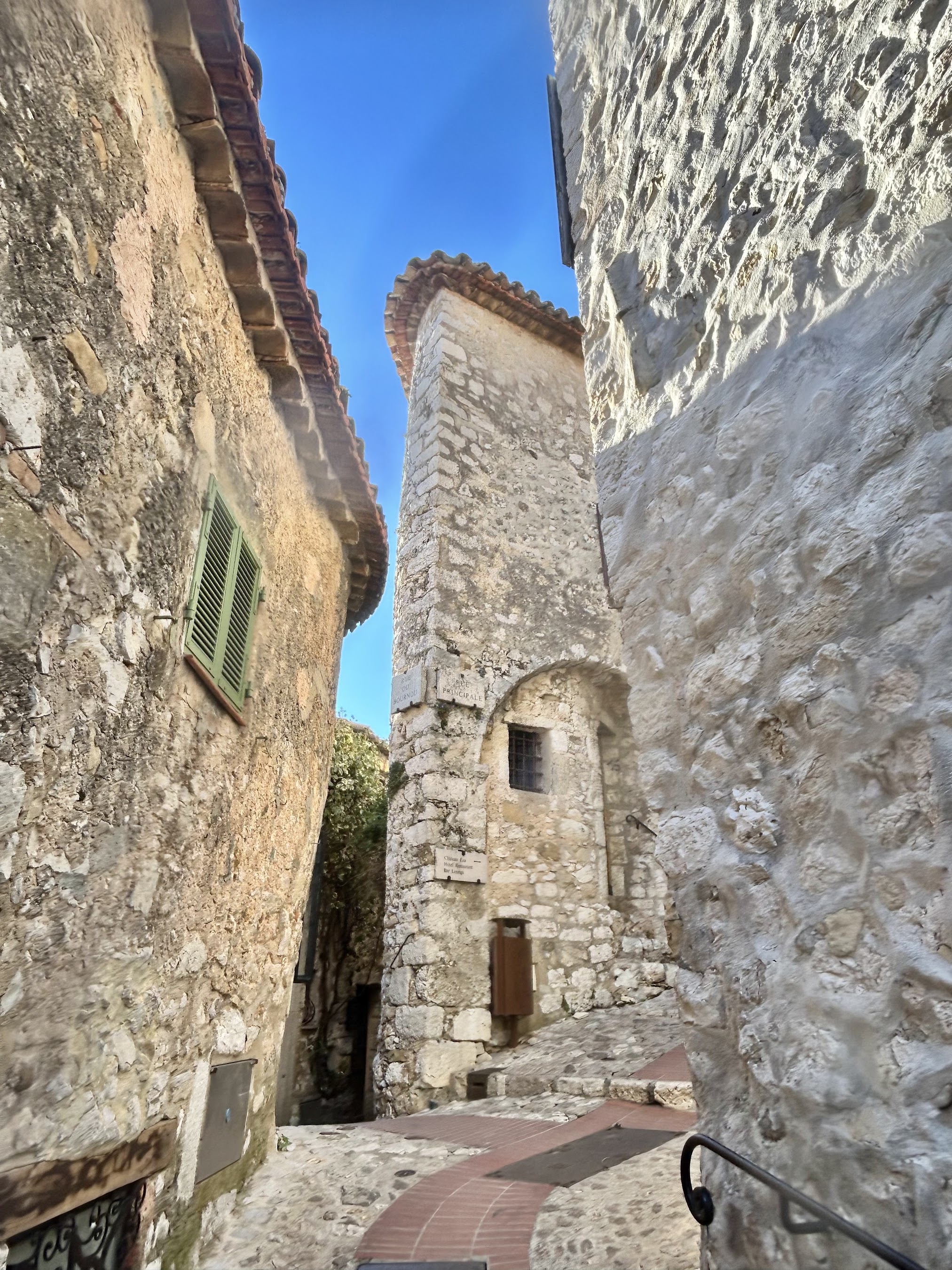
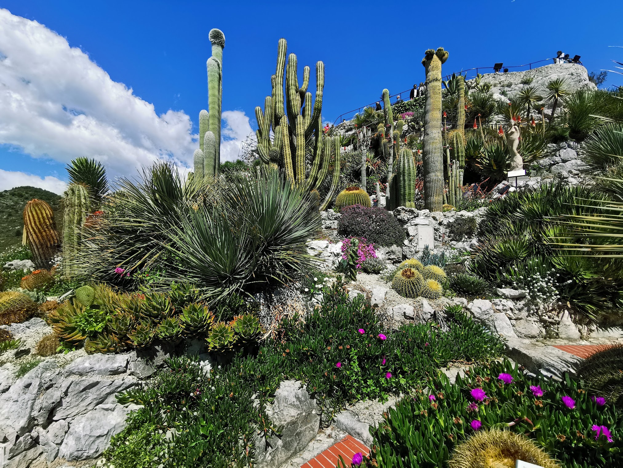
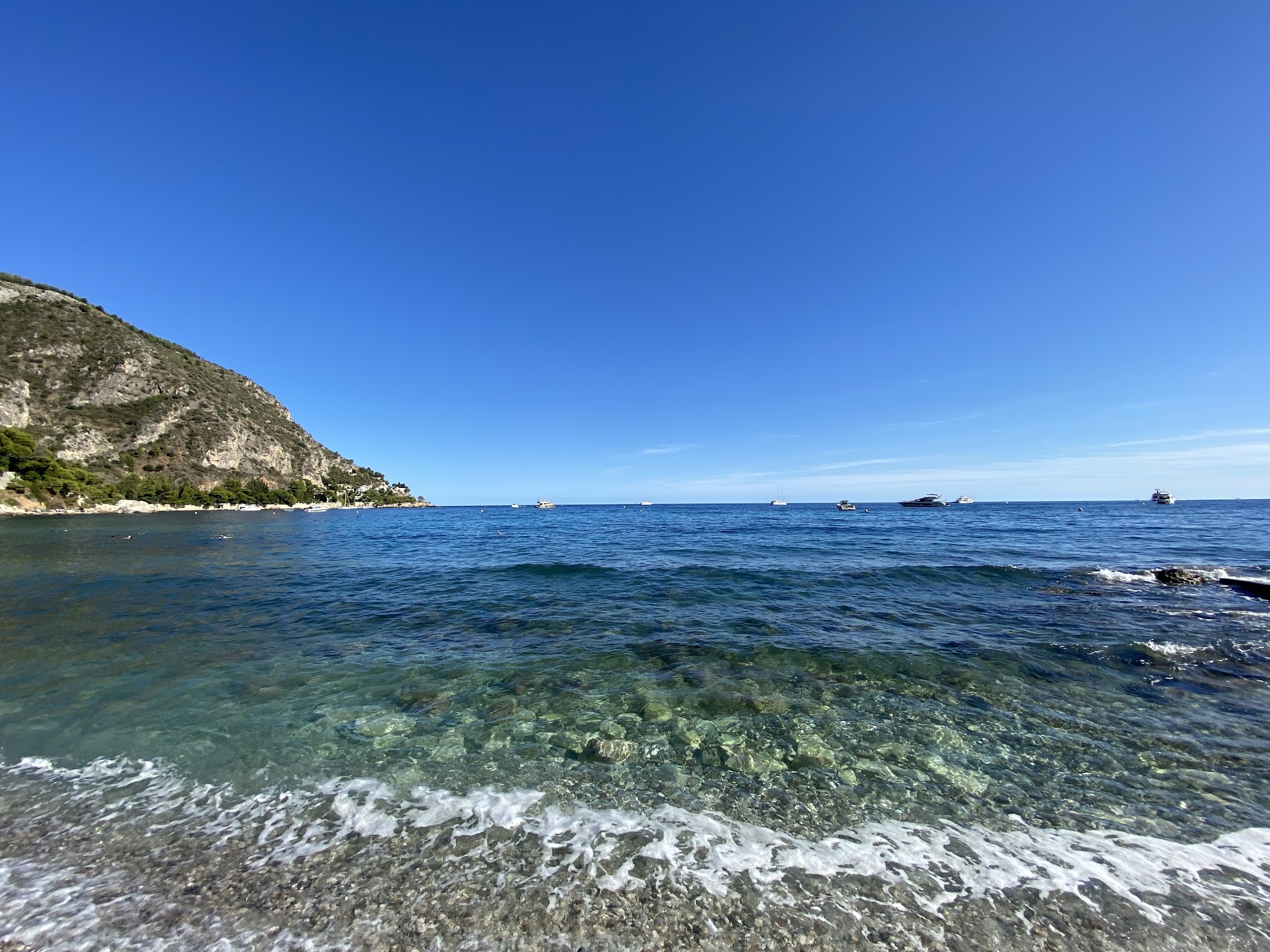
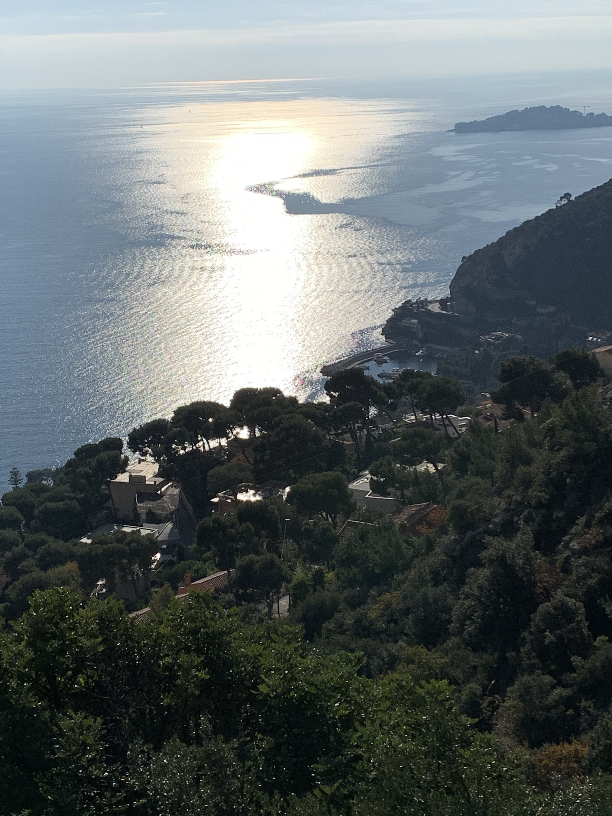
Nietzsche Path Photos
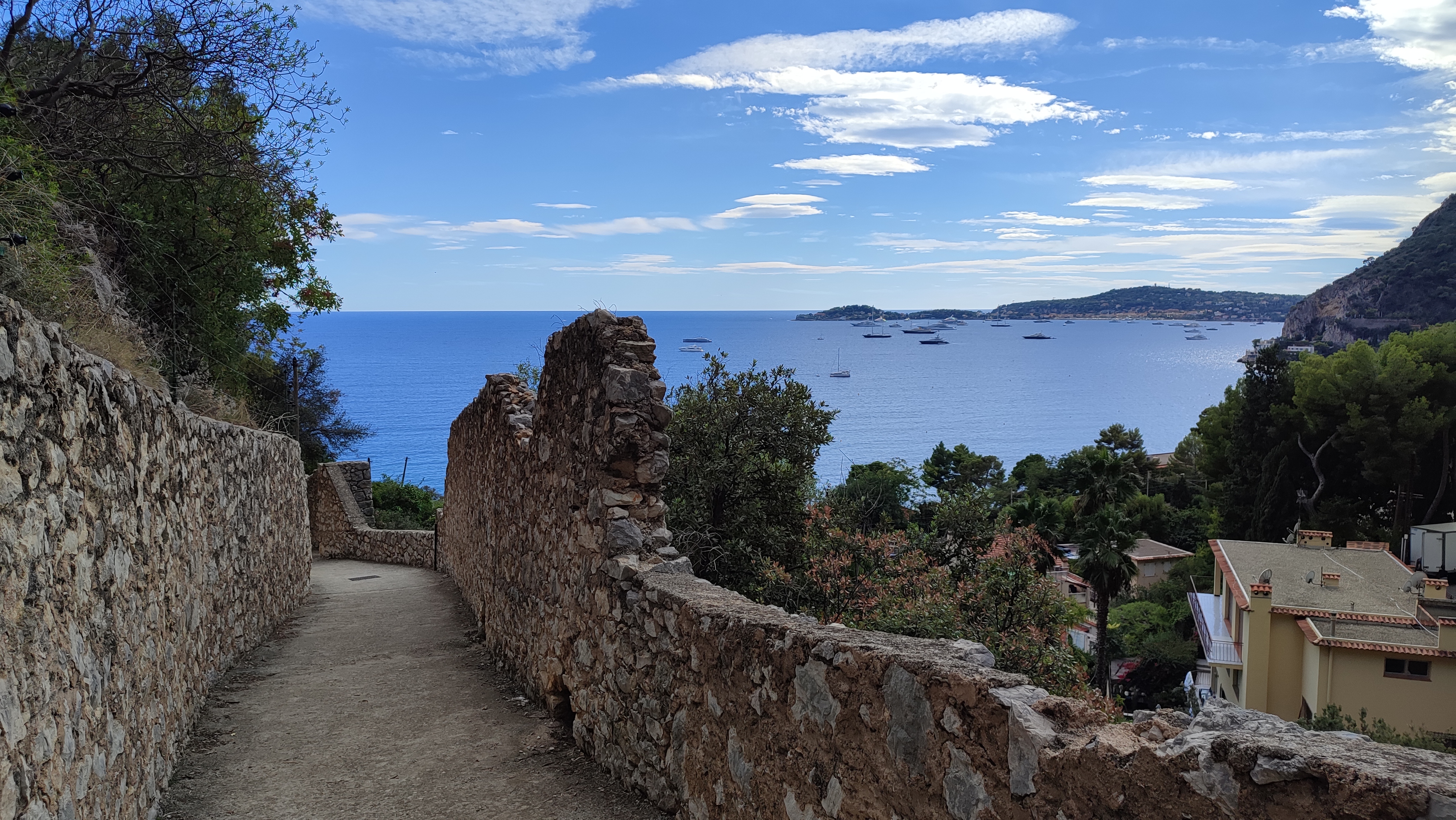
Explore the trail’s steps, rocky terrain, Mediterranean views and approach to the village in these photographs.
Little-known local heritage
La Calanca waterfall and historic olive mill
A small waterfall lies near an old olive-oil mill beside the trail. Once little known, it has recently attracted hikers and recalls Èze’s historic milling and water systems.
Henri Geist and André Tiret document the history and hydraulic operation of the former olive-oil mill in their study “Le moulin oublié de La Calanca (Èze)”. They suggest that some of its remains may date from the first half of the 19th century.
Safety: Stay on authorized trails, avoid wet or slippery rocks, and follow all local signs and access restrictions.
Find the waterfall on Google MapsReference: Henri Geist and André Tiret, « Le moulin oublié de La Calanca (Èze) », Archéam, 1997–1998, no. 5, pp. 40–42. Local information shared by the Èze tourist information office.
A small cascade among mosses, ferns and limestone rocks.

Practical hiking tips
A few simple preparations make the walk much more comfortable.
- Carry at least 1 to 1.5 liters of water per person in warm weather.
- Wear stable shoes for dry ground and stone steps.
- Avoid the hottest hours in summer.
- Morning usually means softer light and fewer people.
- Leave time for Eze Village or your return journey by bus or train.
History and context
The trail is associated with Friedrich Nietzsche, who stayed on the French Riviera several times from 1883 onward. The walk between the sea and the village is often linked to the period when he worked on the third part of Thus Spoke Zarathustra.
Documents shared by the Èze tourist information office provide literary context for Nietzsche’s Riviera walks, including Christian Arthaud and Éric L. Paul, La Côte d’Azur des écrivains (Édisud, pp. 140–144). This remains an independent, unofficial visitor guide.
What hikers value most
Instead of showing individual quotes that can be hard to verify over time, this section summarizes the themes that appear most often in public reviews.
Detailed Nietzsche Path guides
Explore our French-language guides to the map, difficulty, transport, walking direction and Èze’s history.
Monter ou descendre le Chemin de Nietzsche ? (French)
Choisir le sens de marche entre Èze-sur-Mer et Èze Village, puis organiser une randonnée en aller simple ou un aller-retour.
Nietzsche et Èze : comprendre le nom du sentier (French)
Le lien entre Friedrich Nietzsche, la Riviera et le village d’Èze, avec des repères historiques pour prolonger la marche.
Carte du Chemin de Nietzsche (French)
Carte du Chemin de Nietzsche avec départ près de la gare d’Èze-sur-Mer, arrivée à Èze Village et repères utiles pour suivre facilement le tracé.
Difficulté du Chemin de Nietzsche (French)
Difficulté du Chemin de Nietzsche à Èze : niveau généralement modéré, mais montée plus exigeante depuis la gare d’Èze-sur-Mer à cause du dénivelé, des marches et de la chaleur.
Accès au Chemin de Nietzsche (French)
Accès au Chemin de Nietzsche avec train jusqu’à la gare d’Èze-sur-Mer pour la montée, ou départ depuis Èze Village pour descendre le sentier.
Frequently asked questions about the Nietzsche Path
These answers cover the most common searches about the map, difficulty, start point, and train access.
Where does the Nietzsche Path start?
Most visitors start near Eze-sur-Mer train station and then hike up to Eze Village.
Which station should you use for the Nietzsche Path?
Eze-sur-Mer station is the most practical rail stop if you want to start the hike from the lower trailhead.
Is the Nietzsche Path difficult?
It is usually considered moderate, with the uphill route feeling more demanding in hot weather.
Where can you see the Nietzsche Path map?
Google Maps is the easiest option, using Eze-sur-Mer station as the lower reference point and Eze Village as the upper one.